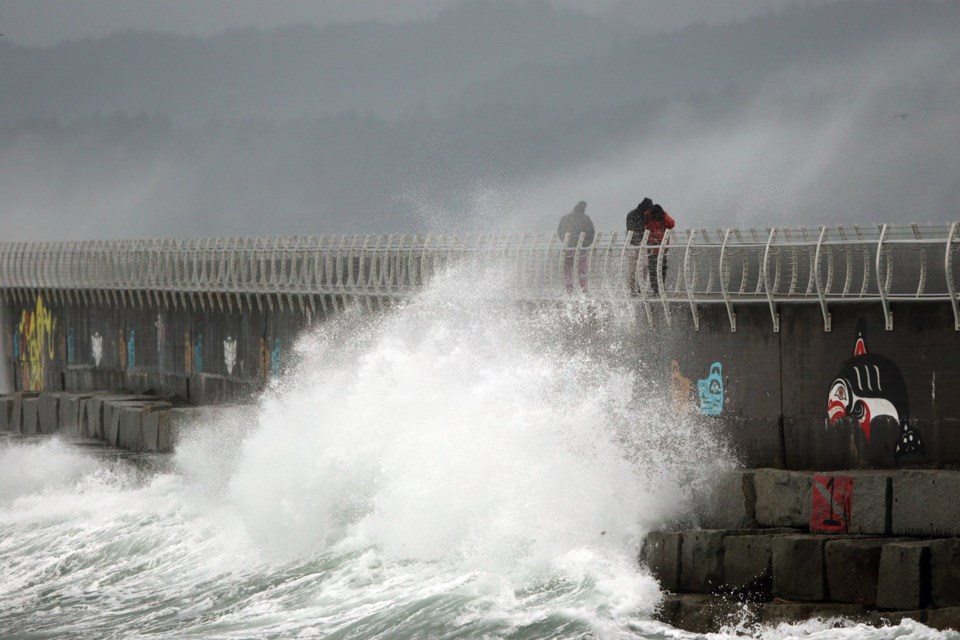
VANCOUVER — Environment Canada says the first of a series of Christmas week storms forecast for British Columbia's coast is moving inland, after bringing 140 km/h winds to some exposed coastal areas.
But there will be no respite for the south coast and Vancouver Island, with a second powerful storm expected to bring very strong winds and heavy rain on Christmas morning.
The initial storm that arrived late Monday brought gusts up to 142 km/h to the west coast of the island overnight, before moving out of the region Tuesday morning.
The weather agency has issued a wind warning for the Chilcotin region as the storm moves inland, saying winds up to 100 km/h are expected near Anahim Lake and areas west of Big Creek near the coastal mountains.
Environment Canada says the next storm will arrive early on Christmas Day, with BC Ferries warning that multiple routes may be affected by high winds forecast for the Strait of Georgia and north Vancouver Island.
The third weather system is a low-pressure system that Environment Canada says will approach southern Vancouver Island early Thursday, although there's uncertainty about its path.
The agency says an anticipated southern track would confine the strongest winds and heavy rain to the south coast.
This report by The Canadian Press was first published Dec. 24, 2024.
The Canadian Press


