An update from Parks Canada says that a team is working on a map that contains information about damage to areas outside of the Jasper townsite.
Yesterday the municipality released a map of damage to the townsite, along with a damage report with addresses of structures in the town and the condition of those structures.
However, the addresses listed with “no visible damage” may have sustained damage that was not visible to the crews examining the townsite, the Government of Canada update says.
Current fire status
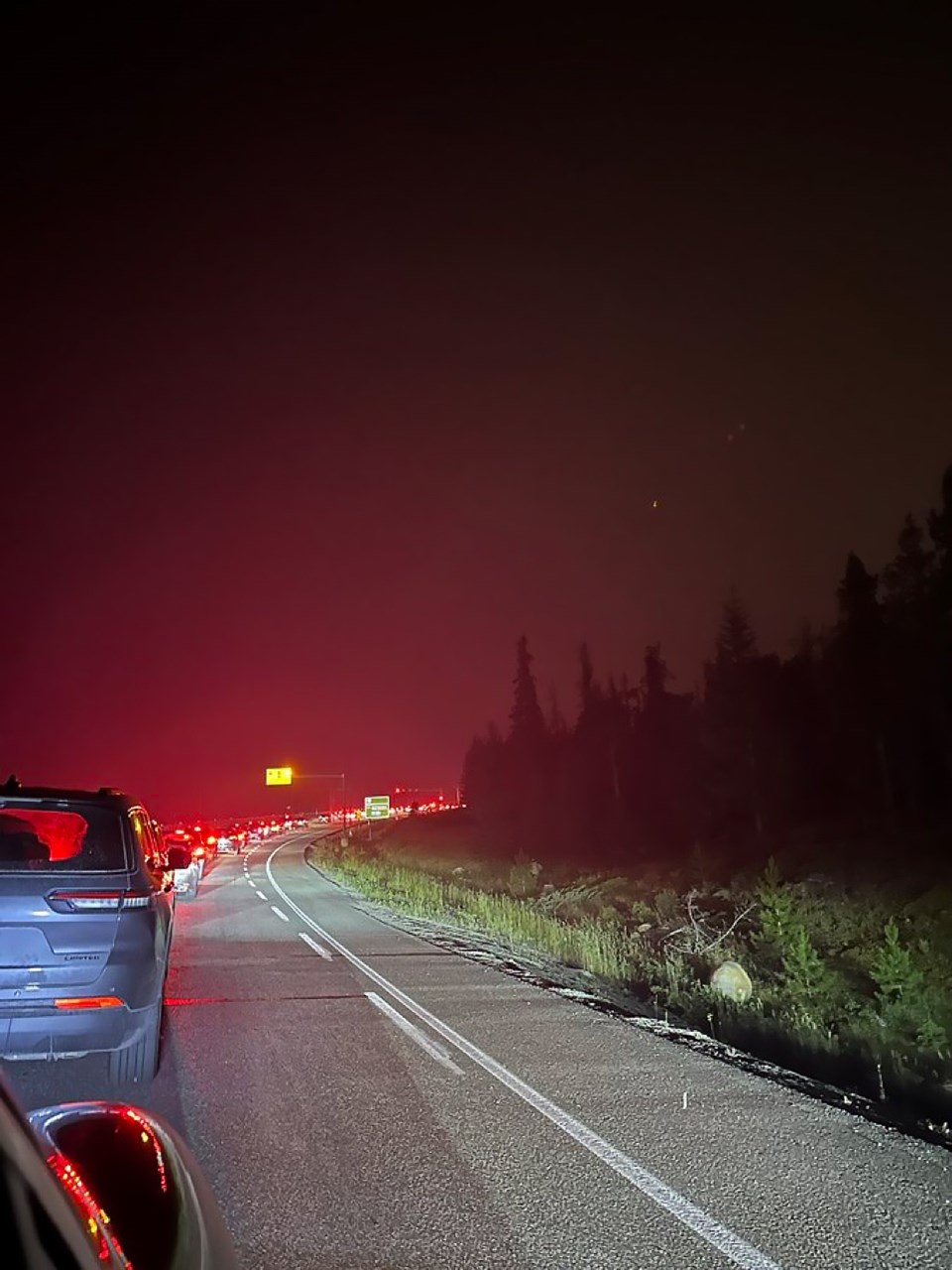
The wildfire, currently 32,000 hectares, is still burning to the north, east and south of the town.
Some fire hot spots became more active on Saturday.
“We expect to see a continued increase in fire behaviour today, as fuels continue to dry out,” the Parks Canada update says.
Firefighters, specialist physicians, heavy equipment and a helicopter are currently on the way to Jasper, said Melissa Story, provincial wildfire information officer, at a press conference July 28.
Work started today near along the Pyramid Lake fire road to, using bulldozers, build fire containment lines.
Crews continue to work on extinguishing fires around Highway 16.


