Parks Canada has released an updated fire perimeter map showing an estimate of the furthest area burned, not what is currently burning.
The perimeter encompasses most of the valley area from north of Maligne Lake Road down south past Horseshoe Lake.
In a Sunday night update, the agency emphasized that this map was an estimate and will change when there is a chance to undertake more detailed mapping.
It added that within the estimated perimeter, there will be areas completely burned, areas partially burned and areas not burned at all.
“We sincerely appreciate everyone’s patience as we continue to work on an accurate and detailed update for outlying commercial accommodations and Parks Canada locations such as campgrounds,” Parks Canada stated.
“We know that many people have had to leave their trailers, RVs, belongings, or vehicles at these locations to evacuate, and we are working to update you as soon as we can.”
An initial aerial survey conducted Friday determined the fire was around 32,000 hectares, with Parks Canada adding there have been no significant changes over the weekend.
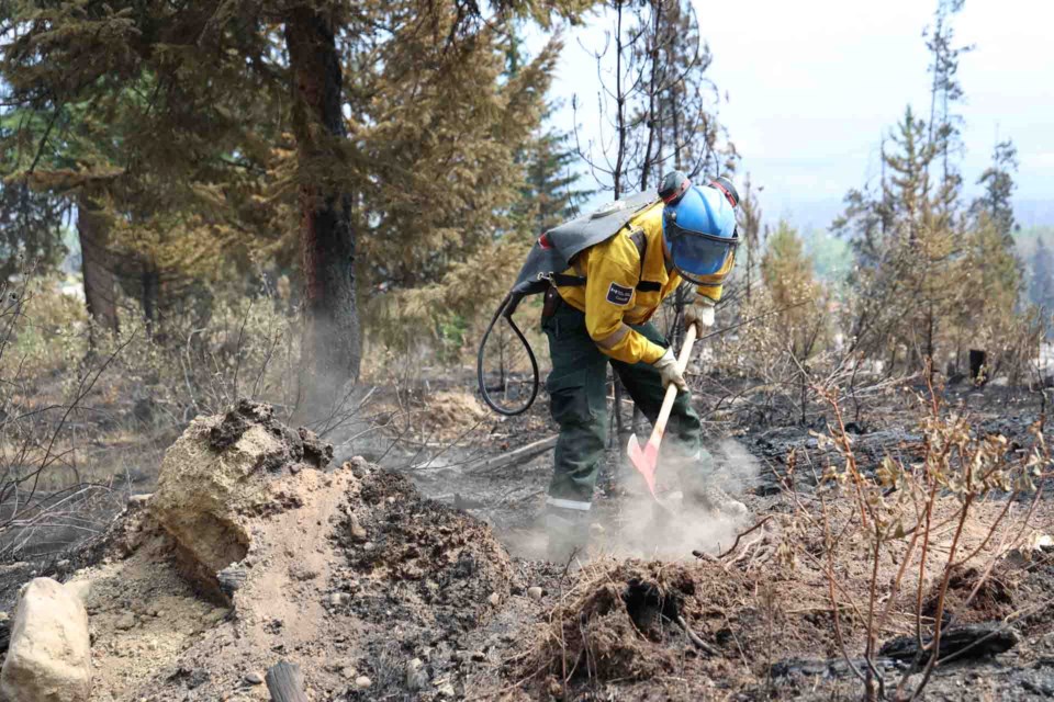
Reduced fire behaviour continued to allow crews to continue making progress against the wildfire.
The Jasper Skytram Road was widened with bulldozers to create a wider control line on Whistlers Mountain.
As well, a 12-inch-high volume sprinkler line along the community fire guard is nearing completion and will provide the contingency control feature for the townsite from fire spread from the west or north.
However, Parks Canada warned of increased fire activity on Wednesday due to forecasted dry conditions.


